
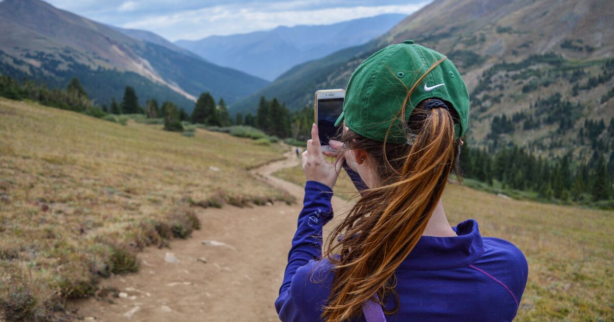
Point your phone at a ridge, and a second later the screen names every summit on it. It looks like magic, and it’s marketed like magic. It isn’t — it’s geometry, good public data, and increasingly some computer vision. Understanding how an app that identifies mountains actually works tells you two useful things: when to trust the label on your screen, and when your own eyes are still the better instrument.
An app that identifies mountains works in two main ways. It either matches the skyline in your camera against a 3D terrain model computed from your GPS position, compass and elevation data, or it recognizes the peak’s shape directly with AI trained on photos. Both approaches then label each visible summit with its name and elevation.
Method one: the world as a 3D model
The classic approach never really “sees” the mountain at all. Your phone knows three things: where you are (GPS), which way it’s pointed (compass), and how it’s tilted (gyroscope and accelerometer). The app combines those with a digital elevation model — a grid of ground heights covering the Earth, much of it descending from NASA’s Shuttle Radar Topography Mission — and computes what the horizon must look like from your exact spot: a synthetic skyline, ridge by ridge, with every bump’s identity known because it came from the terrain data itself.
Then it overlays that computed panorama on your camera view and attaches names from a peak database (OpenStreetMap is a common source). Nothing needs recognizing; if the model says the third bump from the left is 3,000 m tall and 40 km away, a label goes there. This is why tools built this way work offline and even in the dark — the mountain in the model doesn’t care whether the real one is visible.
The smarter implementations add a vision step: detecting the actual skyline in the camera image and snapping the synthetic one onto it. That correction matters, because a phone compass can easily be several degrees off — and at 40 km, a few degrees is the difference between labeling the right summit and confidently labeling its neighbor.
Method two: recognition, the way you’d recognize a face
The newer approach is pure computer vision: a neural network trained on large numbers of photographs learns what distinctive mountains look like, then identifies them from the image alone — no GPS required. This is the only method that works on someone else’s photo, an old vacation shot, or a picture with no location data.
Its strength is exactly what your brain does with famous peaks: shape memory. The Matterhorn’s lopsided pyramid — 4,478 m (14,692 ft) of it — is so distinctive that recognition is nearly instant. The weakness is everything else: the world holds vastly more anonymous ridges than celebrities, and two unremarkable summits in the same range can look nearly identical. A recognition model with no idea where you’re standing has to guess between them; the same model with your location can collapse thousands of candidates down to the handful actually visible from your spot. That’s why the best results come from combining both methods — geometry proposes, vision confirms — and it’s how Mountain Identifier approaches the problem, returning a confidence score rather than false certainty, along with each candidate’s elevation, prominence, range and country. When the honest answer is “probably X, possibly Y,” the app should say so. Our methodology and pillar guide walks through the full identification chain in detail.
What still defeats an app that identifies mountains
Knowing the failure modes makes you a sharper user of any identification tool.
Haze and weather. Skyline matching needs a skyline. Atmospheric haze softens distant ridges until the detector can’t find a clean edge, and clouds routinely decapitate exactly the summit you care about.
Sensor error. GPS in a canyon, a compass near a car body or steel bridge — small input errors become large angular errors at distance. If the overlay looks shifted by one notch, it probably is.
Unusual angles. Recognition models learn mountains from their popular sides — the postcard views. Approach a famous peak from an unphotographed valley and its signature shape can vanish; the Matterhorn from the east reads very differently than the tourist profile from Zermatt.
Similar neighbors. Ranges are families, and siblings look alike. A dozen sharp white pyramids in one massif will humble any classifier — and plenty of humans. Some pairs of peaks are confused so consistently that we wrote a whole guide to commonly misidentified peaks.
The database itself. A label is only as good as its source. Peak databases carry misplaced coordinates, disputed names, and outdated elevations — the app repeats what it’s told.
Where your eye still wins
A trained spotter beats software in exactly the situations above. You can reason about context the model doesn’t have: which valley you drove up, what stood next to what, how the light exaggerates a slope. You can recognize a mountain by its character — the way the most recognizable mountains each have a silhouette that survives bad weather and strange angles. And you can apply negative knowledge: it can’t be that peak, because that one has a glacier on this face. Shape knowledge compounds; the app never gets better at your local skyline, but you do.
The honest division of labor: let the app do the geometry — the part where it computes sightlines to a thousand candidates in a second — and keep doing the judgment yourself. Check its confidence score, sanity-check the distances, and treat a hazy low-confidence result as a hypothesis, not a verdict. Used that way, an identification app isn’t a replacement for knowing mountains. It’s how you get faster at learning them — every pointed camera is a flashcard with the answer on the back.
The real peaks
Genuine photographs of the summits above — so you know what to actually look for: