Somewhere on a walk you’ve had the argument: is that a mountain or just a big hill? And is that bump on the ridge its own peak, or merely a shoulder of the summit next door? Most people assume there’s an official height that settles what makes a mountain vs a hill. There isn’t — and the rule that does exist is smarter than a height.
There is no universal height at which a hill becomes a mountain: no global authority defines one, and the famous 1,000 ft rule is movie folklore. What list-makers actually use is prominence — how far a summit rises above the highest saddle connecting it to anything higher. Clear the cutoff and you’re a separate mountain.
Here’s where the folklore came from, what the real rule is, and how to use it the next time a skyline starts an argument.
The mountain vs hill height rule that never existed
The threshold most English speakers half-remember — a mountain must be 1,000 ft — owes its fame mostly to the 1995 film The Englishman Who Went up a Hill but Came down a Mountain, in which Welsh villagers pile earth on their 984 ft hill so cartographers will map it as a mountain. Charming story; not a real regulation. No international body defines a minimum height for “mountain,” and national practice is a patchwork of customs rather than law.
In the UK, tradition — not statute — treats roughly 2,000 ft (610 m) as the line where hills become mountains, which is why so many British hill lists use that figure as an entry bar. But it’s folklore with a spreadsheet, not physics: the customary line is different elsewhere, and plenty of geographers shrug at the question entirely. Meanwhile the things locals call mountains and hills ignore every threshold — names stick for historical reasons, so maps carry 600 m “hills” and lower “mounts” without embarrassment.
The deeper problem: height above sea level was always the wrong measurement for the question. A 2,100 m summit on a 2,000 m plateau is an afternoon stroll; a 900 m peak rising straight from a sea loch fills the sky. If “mountain” is supposed to mean something you’d recognize on sight, elevation alone can’t define it.
Prominence: the rule peak-baggers actually use
The measurement that can is prominence: from a summit, descend to the highest saddle — the key col — that connects it to any higher ground; the vertical distance from that saddle back up to the summit is the prominence. It answers the exact question the hill/mountain argument is really about: how much does this thing stand up on its own? We’ve unpacked the concept fully in elevation vs prominence, but the short version: prominence measures independence, not altitude.
So instead of asking “how high?”, modern peak lists ask “how prominent?”, and draw a cutoff:
- Marilyns — the British and Irish list compiled by Alan Dawson in 1992 — require 150 m (492 ft) of prominence, with no height requirement at all. A modest coastal hill qualifies; a lofty shoulder of a bigger mountain doesn’t.
- P600s, sometimes called “Majors,” require 600 m (1,969 ft) of prominence — a stricter bar for what counts as a truly independent mountain, applied worldwide.
- Many international compilations of the world’s separate mountains use similar prominence floors precisely so that ridges bristling with named “tops” don’t flood the list.
Notice what the cutoff is doing. It isn’t ruling on dignity — it’s deciding when a bump is a separate summit rather than a subsidiary point of its neighbour. That’s the ridge question from the top of this article: a knob on a ridge with 20 m of re-ascent on all sides is a top, a shoulder, a point with a name — but by any prominence standard it is part of the bigger mountain next door.
The extreme example makes it vivid: Everest’s South Summit stands higher than any mountain on Earth except Everest itself, yet it appears on no list of mountains, because you descend only on the order of a dozen metres from it before the ridge climbs on to the main summit. Colossal elevation, negligible prominence: not a separate mountain. (We tell that story in full in why Everest technically has no prominence.)
Ben Nevis, the honest yardstick
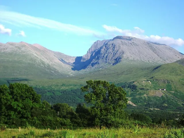
For the cleanest possible contrast, take Ben Nevis. At 1,345 m (4,413 ft) — the Ordnance Survey’s 2016 re-survey put it at 1,344.527 m and rounded up — it would be an unremarkable shoulder if it stood in the Alps, and it doesn’t clear even half of the customary “big mountain” elevations of other ranges.
But Ben Nevis is the highest point in the British Isles, so there is no higher ground for its key col to connect to short of continental Europe: its prominence is effectively its entire height, about 1,345 m. By the measure that matters, it is one of the most complete mountains you can stand on — you see essentially all of it — and nobody who has watched it rear over Fort William has ever called it a hill.
That’s the pattern worth internalizing: prominence predicts the experience. High prominence means the mountain owns its horizon, whatever its altitude. Low prominence means you’re looking at a detail of something larger, however high the air.
A field answer for the skyline argument
So the next time the argument starts, here’s the honest adjudication:
- “Is it a mountain or a hill?” — Convention, not science. If you need a line, the UK’s folk threshold is about 2,000 ft (610 m) of elevation; the 1,000 ft rule is a film plot. Say “there’s no official definition” and you’re on the firmest ground of all.
- “Is it a separate mountain or part of that one?” — Prominence. Find the deepest gap between the two summits; if the re-ascent is trivial, it’s a top or a shoulder, and if it clears a healthy cutoff — 150 m for a Marilyn, 600 m for a Major — it’s its own mountain by the standards peak-baggers actually use.
When you point the app at a summit, the prominence figure in the result is exactly this adjudicator: it tells you instantly whether you’re naming an independent mountain or admiring the shoulder of a giant. Elevation tells you how high the top is; prominence tells you whether it deserves its own name — and now you can settle the argument before the kettle boils.
The real peaks
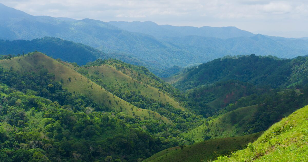
Genuine photographs of the summits above — so you know what to actually look for: